Bight of Benin Coastal Monitoring Programme
Dive into Ocean Data: Uncover marine wonders, track environmental changes, and explore the secrets of our oceans. Discover captivating visuals and up-to-date information, taking you on a voyage of knowledge and awe-inspiring exploration.
Ready to dive
in?
Know more about us.
Waves
This is retrieved from a wave buoy deployed in front of Woe beach at 2.9 km away from the beach at a water depth of 20.45 m.
Topography
Beach elevation variation (Topography) is collected at 16 communities between Ada and Aflao using StoneX D-GPS on about monthly scale.
Bathymetry
Bathymetry data is collected annually on about 15 km along the coast from Volta River estuary to Atokor using Valeport Midas Eco sounder.
Shoreline Position
Shoreline Positions manually digitized from orthophotos of Drone flights.
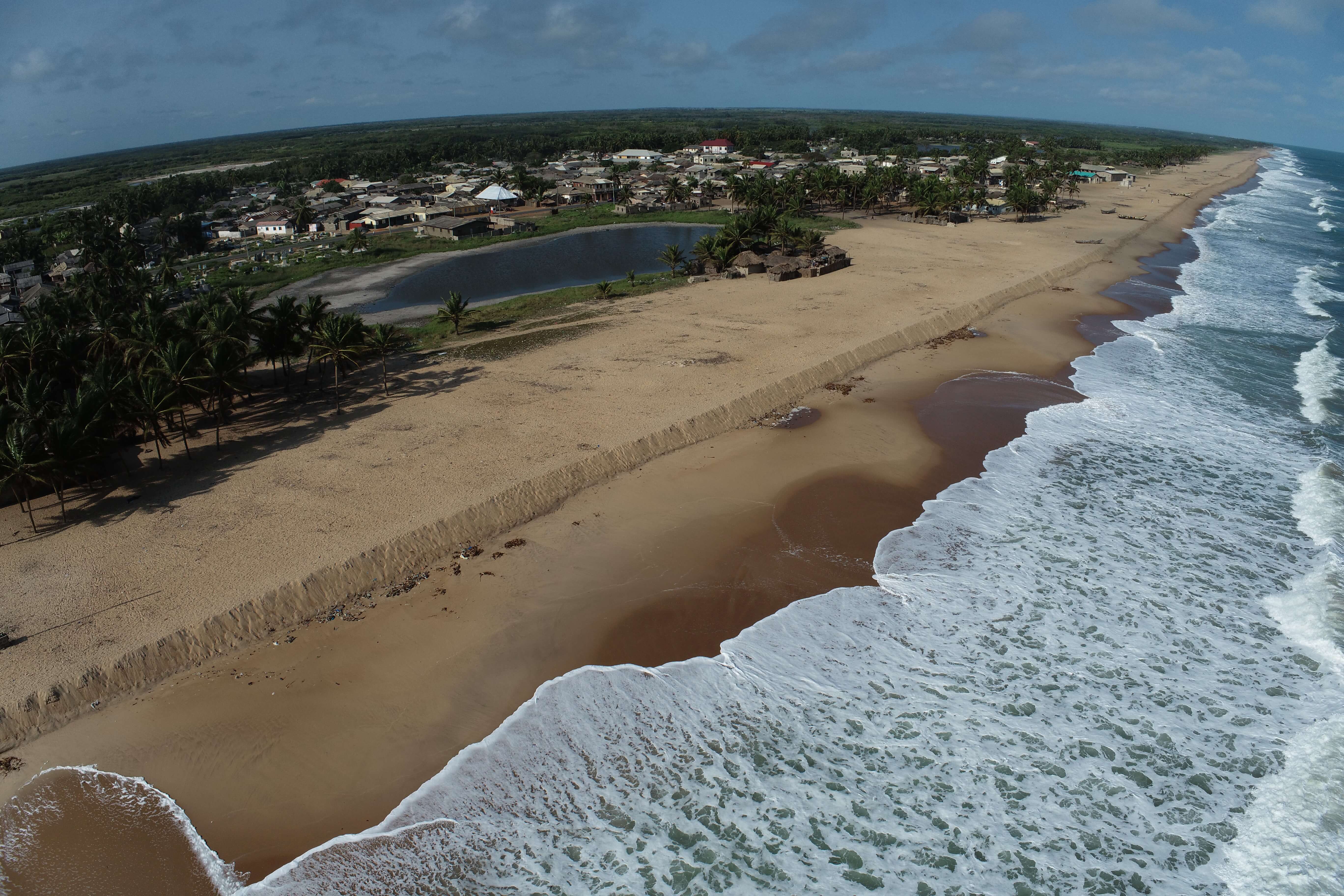
Orthophotos
Orthophotos, profiles, digital elevation models (DEMs) and Shorelines are extracted from the imagery of drones.
Drone, Video and Camera
Drone survey is done using DJI Phantom IV unmanned aerial vehicle on monthly basis.