Channel 05 · Dataset
Orthophotos
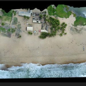
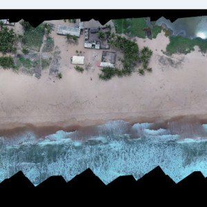
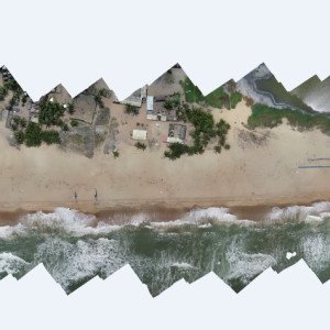
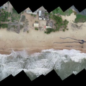
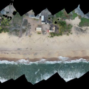
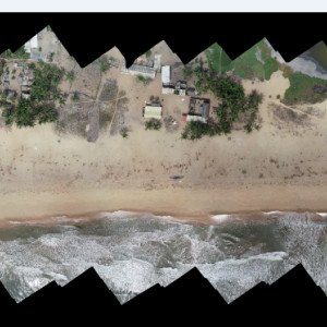
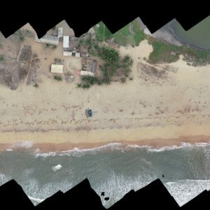
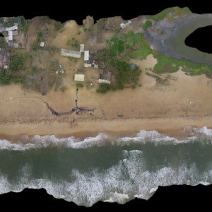
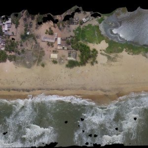
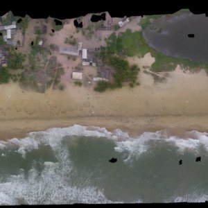
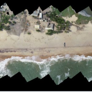
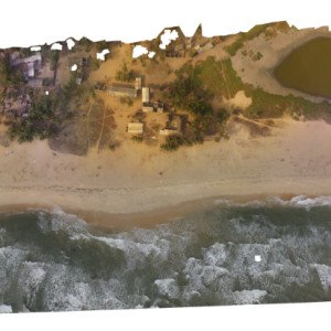
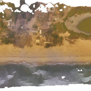
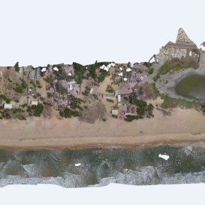
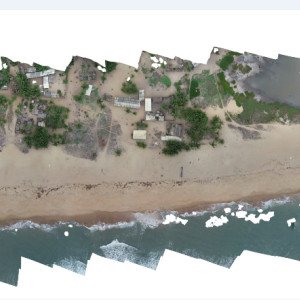
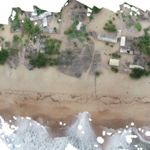
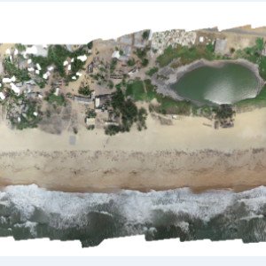
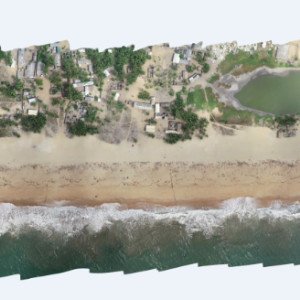
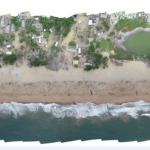
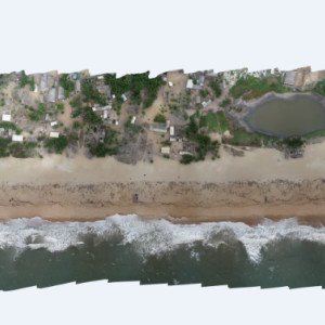
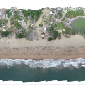
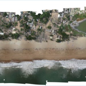
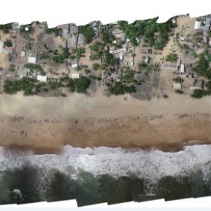
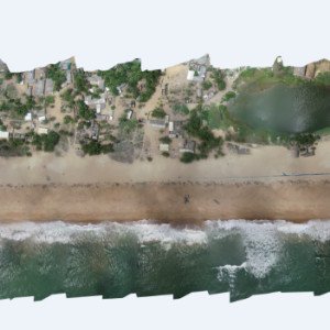
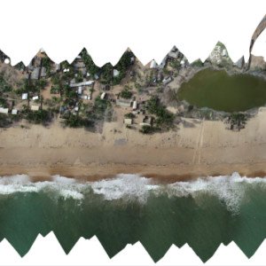
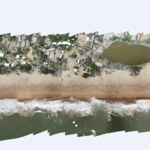
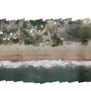
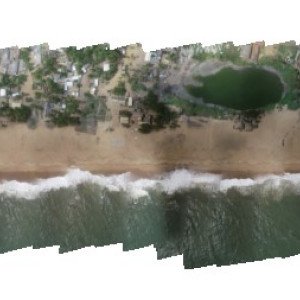
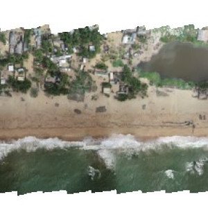
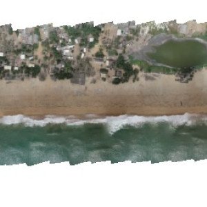
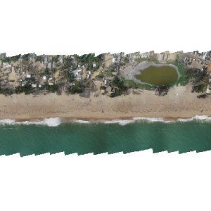
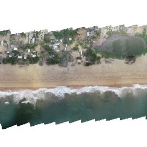
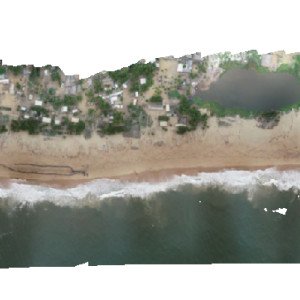
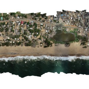
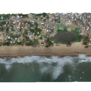
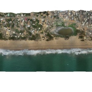
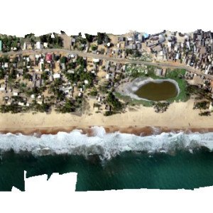
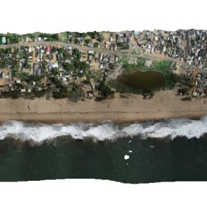
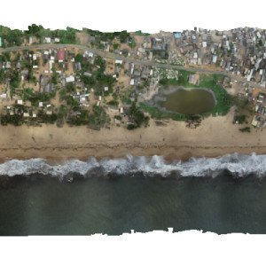
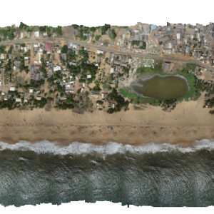
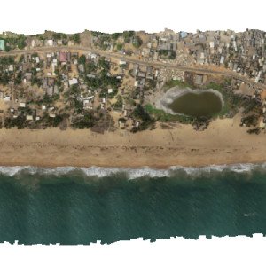
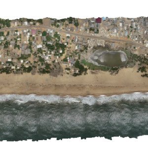
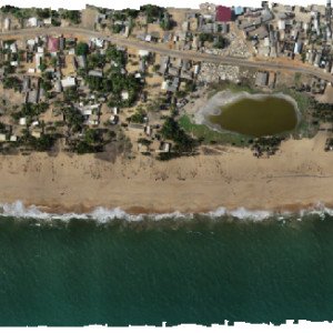
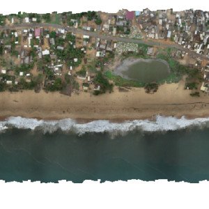
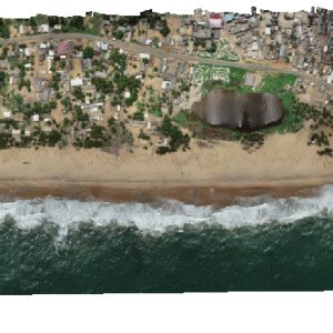
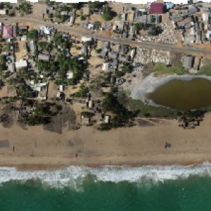
Orthophotos, digital elevation models (DEMs) and Shorelines are extracted from the imagery of drones.
- Campaigns
- 46
- Flown
- 2018 – 2024
- Imaged
- 46 / 46
- Form
- Aerial mosaics
Some archived image files are still being restored to this server; campaigns whose mosaic is missing are marked rather than hidden.
Campaign mosaics · tiles served from the media library
Request this dataset
Issued to researchers, agencies and coastal communities with station metadata and campaign notes.
Request data access Centre for Coastal Management · Response within 5 working days