Overview
In Ghana and maybe the entire West Coast of Africa, there are issues at both national and regional scales accounting for lack of data. Data is unavailable along the beaches in West Africa to help better appreciate and compute the variability and fluctuations in morphology observed at the beaches.
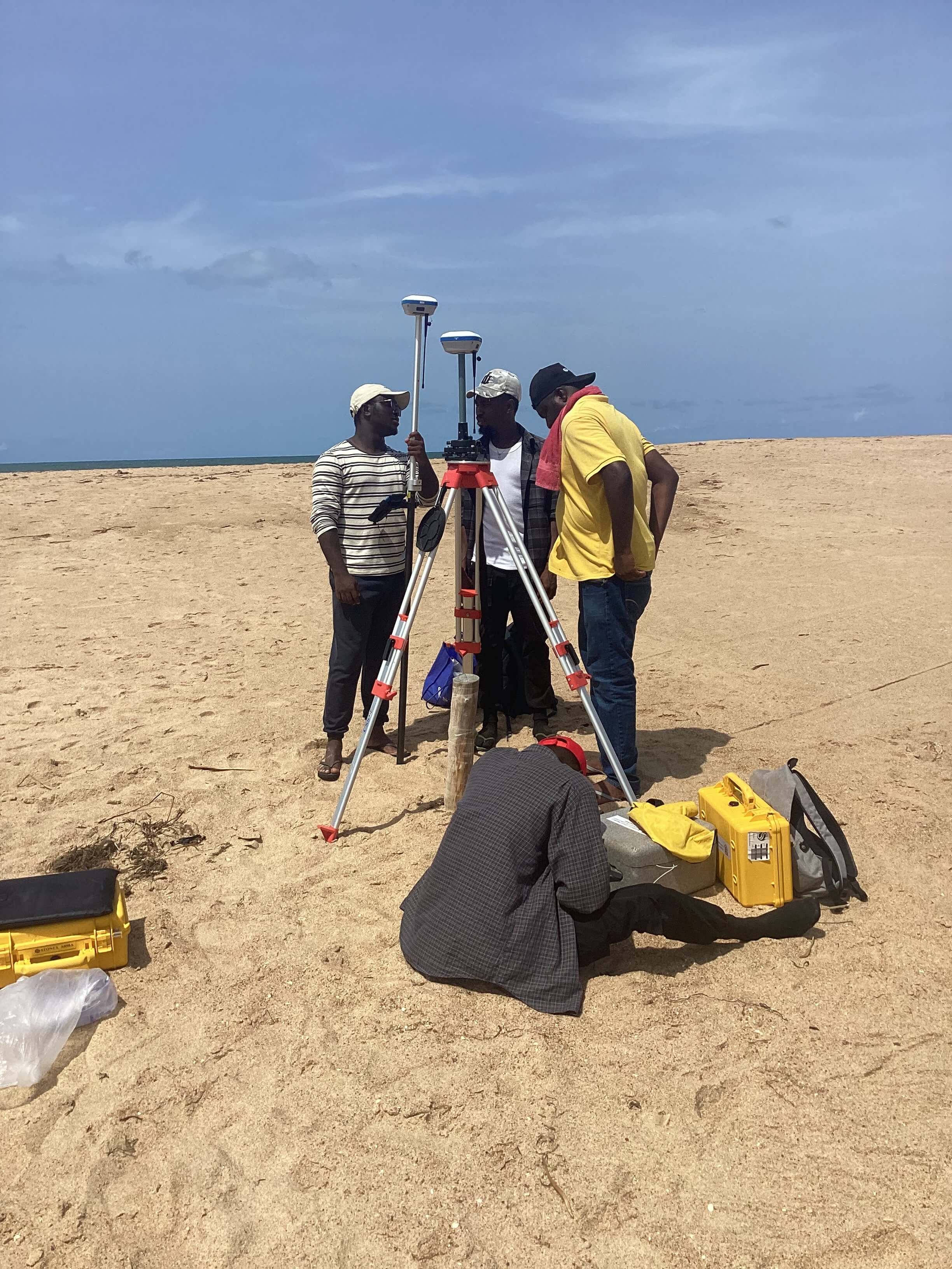
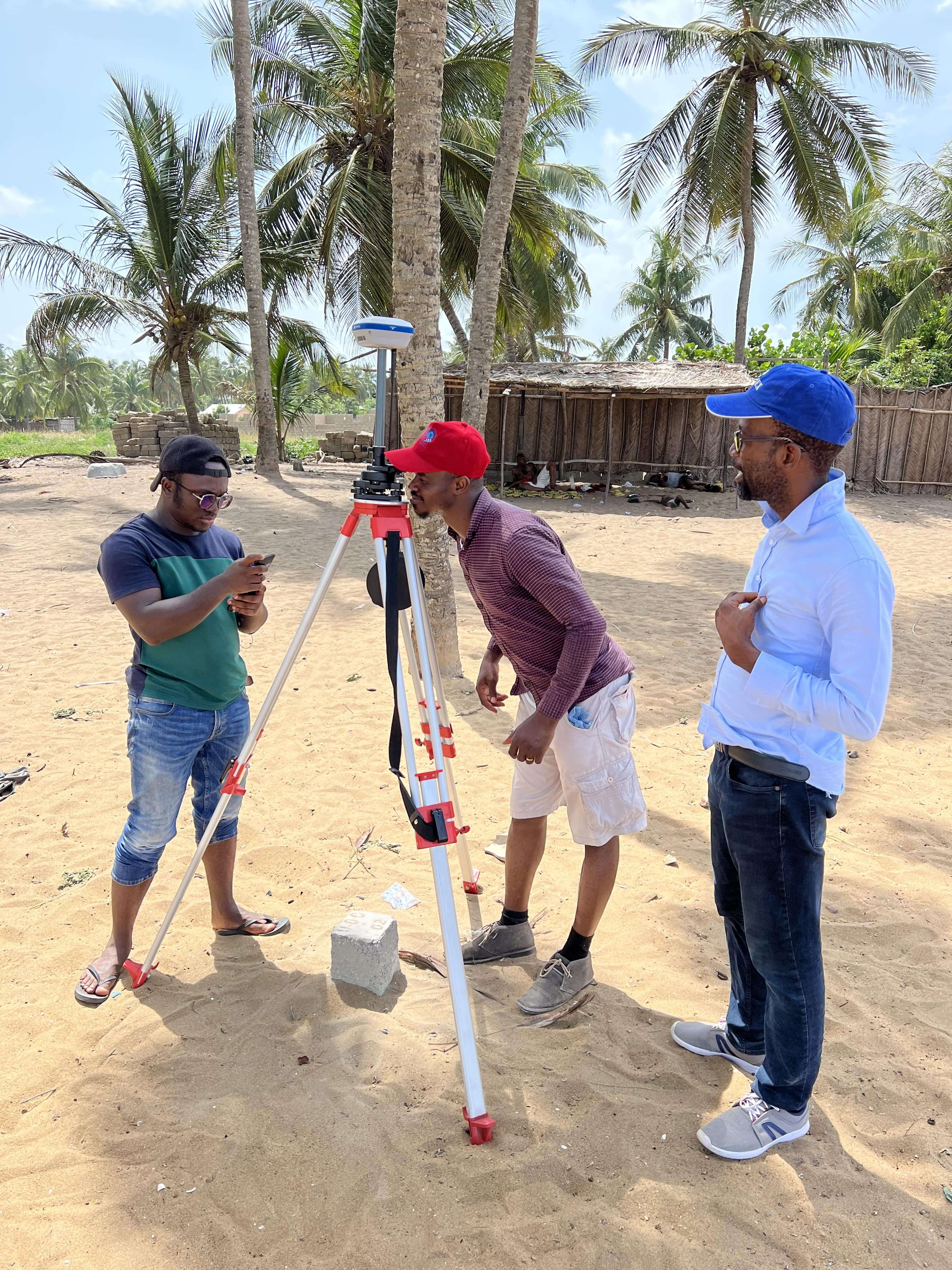
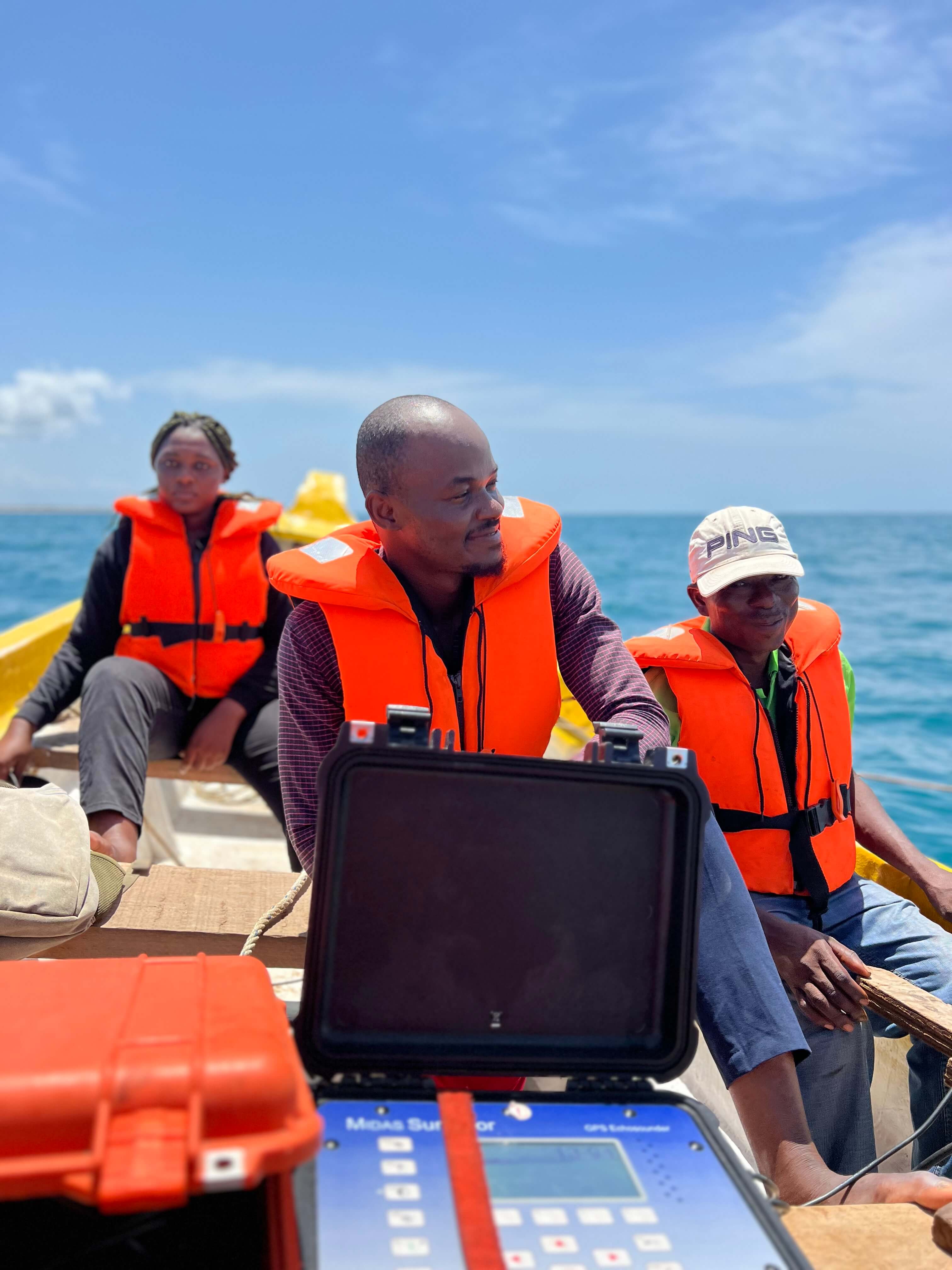
A large-scale survey was initiated to provide information to understand the morpho- and hydrodynamic evolution of the Lower Volta Basin, between Ada and Aflao, and other areas within the Bight of Benin. The first stage of the survey program focuses on the Volta Delta coastline, its topogragphy and nearshore bathymetry as these control other parts of the Delta.
The Volta Delta lies within the Keta Basin, which is one of several fault-controlled sedimentary basins in West Africa (Appeaning Addo et al. 2018). The delta is low-lying and almost flat, featureless and descends gradually from inland to the Gulf of Guinea, thus exposing it to various hazards.
Historical Survey
In Ghana and maybe the entire West Coast of Africa, there are issues at both national and regional scales accounting for lack of data. Data is unavailable along the beaches in West Africa to help better appreciate and compute the variability and fluctuations in morphology observed at the beaches.
A large-scale survey was initiated to provide information to understand the morpho- and hydrodynamic evolution of the Lower Volta Basin, between Ada and Aflao, and other areas within the Bight of Benin. The first stage of the survey program focuses on the Volta Delta coastline, its topogragphy and nearshore bathymetry as these control other parts of the Delta.
The Volta Delta lies within the Keta Basin, which is one of several fault-controlled sedimentary basins in West Africa (Appeaning Addo et al. 2018). The delta is low-lying and almost flat, featureless and descends gradually from inland to the Gulf of Guinea, thus exposing it to various hazards.
- beach experiment in Benin, 2013
- Grand Popo
- 2016 COASTVAR Experiment
- Saint Louis Beach
- in Senegal, 2021
- Afrobarometer Survey
Site Description
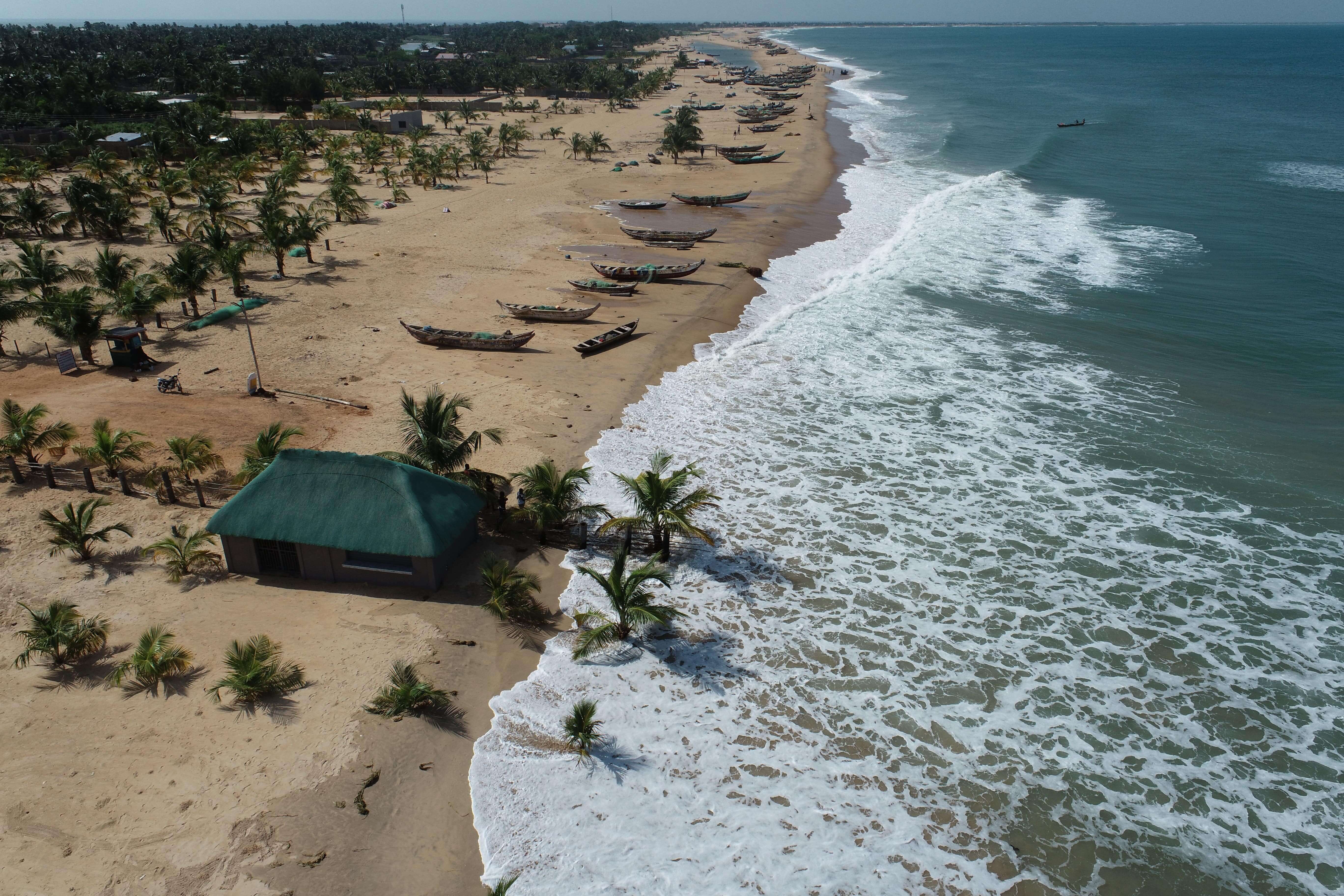
This survey is focused on the lower Volta Delta and its surrounding coastal areas within the Bight of Benin. The Bight of Benin coastal area is characterized by high population density, schools, harbours and farmlands. The Bight of Benin, in the Gulf of Guinea, is more than 400 km long, ranging between 1° to 5°E in longitude, and 5 to 7°N latitude facing the South Atlantic Ocean. This embayment covers the coastal environments of four countries: Ghana, Togo, Benin, and Nigeria. It is a wave-dominated coast formed by sandy beach-ridge barriers and lagoons, bordered by the Niger River Delta in the east and the Volta River Delta in the west, and fed by several small coastal rivers and lagoons (Abessolo et al., 2021).
The coastline is vulnerable to coastal flooding and episodic erosion. Wave climate. It is an open environment exposed to long swell waves that travel far from mid- to high latitudes (45-60°) in the South Atlantic as well as to locally generated short-waves in the tropical band(6°N-15°S). The mid- to high-latitude wind regime is characterized by strong westerlies whereas the subtropical area (30-35°S) is dominated by south easterly trade winds blowing off the coast of Namibia.
The southwesterly swells impinge slightly obliquely (at angles of 10-15°) on the nearly rectilinear west-east oriented Bight of Benin coast, generating the afore-mentioned unidirectional and large longshore drift toward the east (Almar et al., 2015). The tidal regime is microtidal (from 0.3 m to 1.8 m for neap and spring tidal ranges, respectively).
Data To Be Collected
In order to initiate the development and validation of erosion and flooding models as well as evaluate regional coastal zone management policies in terms of their effectiveness, efficiency, coherency, and relevance;
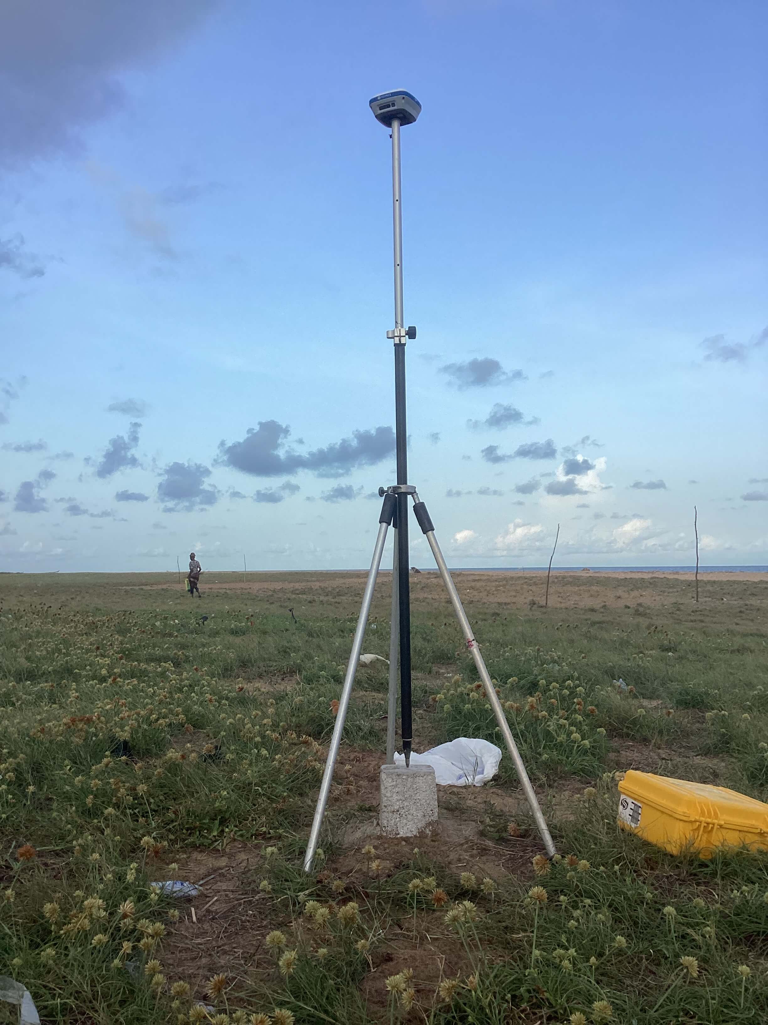
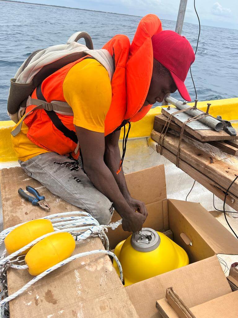
This Project will collect data on water levels, nearshore swell waves, nearshore bathymetry on a 15-arc resolution, currents of sediment drifts, discharge and flow rates from some key rivers (e.g., Mono, Oti, and Volta Rivers), Shoreline changes, and beach topography
Generally, the beaches of Ghana are composed of coarse-grained sediments, such as sand and gravel, with some areas having a mix of sediment sizes. There is erosion evidence in some places along Ghana's coastline as a result of both human activity (such as sand mining) and natural processes (such as wave action, tidal currents, and storm surges). These erosion-prone areas may have less sediment accumulation, resulting in a narrower beach profile
In summary, the data to be collected will be hosted on this website and released to stakeholder on agreed request.
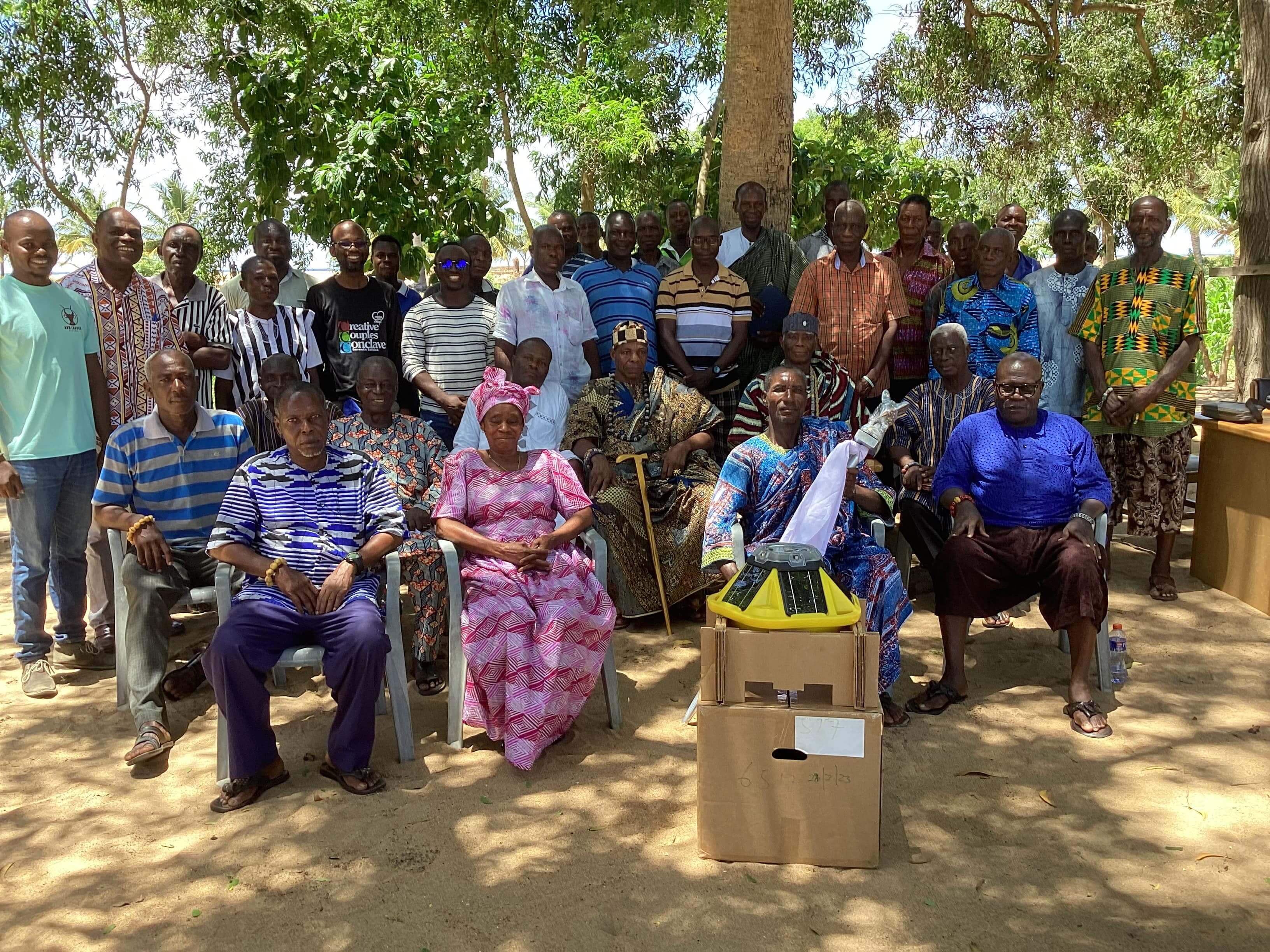
Our team
-

Donatus Bapentire Angnuureng (PhD)
Coordinator
Acknowledgement
The project is very grateful to The National Geographic Society for funding Harmony Coast project.